Share story

Science

DESI Legacy Surveys releases 5.6-trillion-pixel sky map
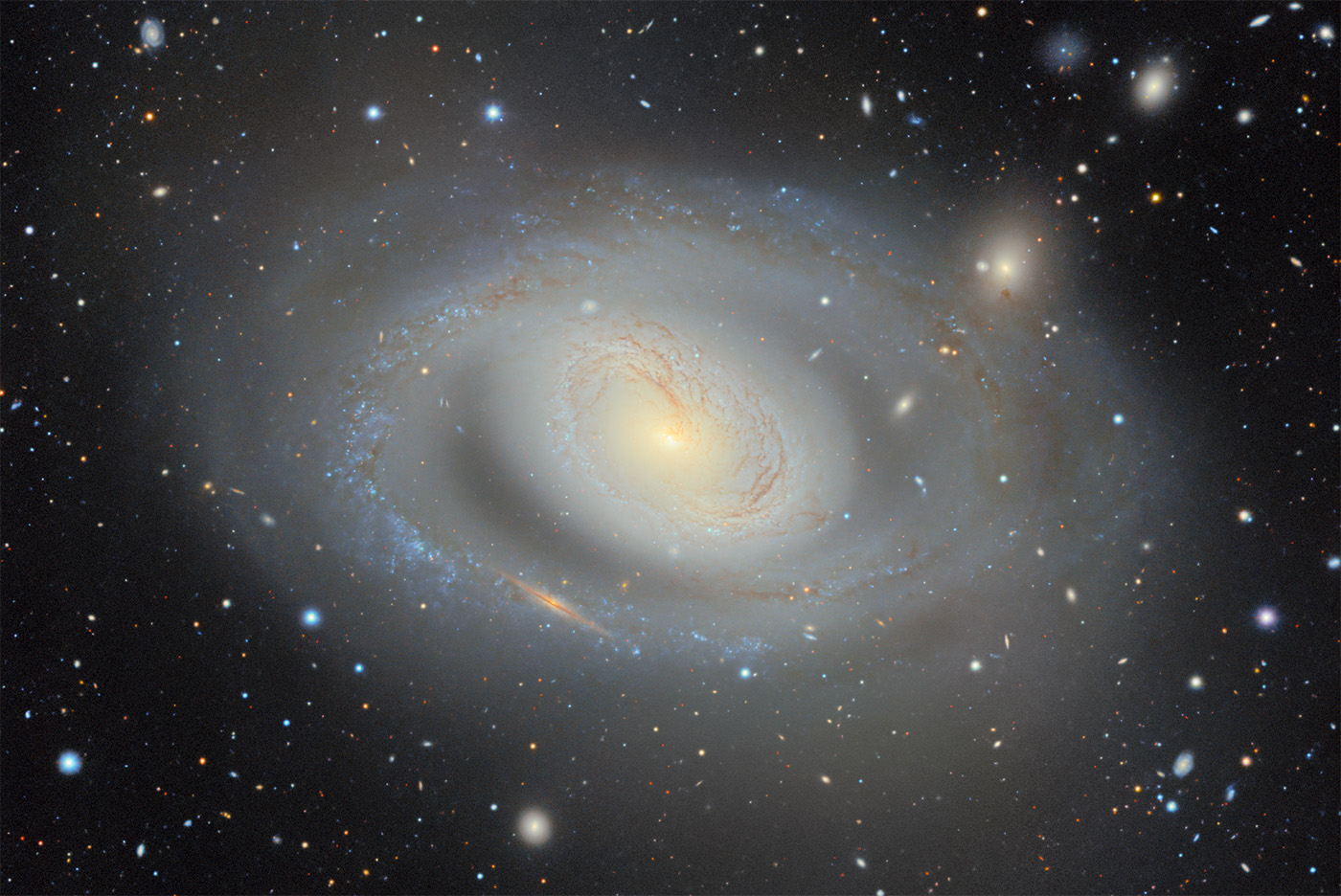
DESI Legacy Surveys releases 5.6-trillion-pixel sky map Image: Primary
The DESI Legacy Imaging Surveys team has released a 5.6-trillion-pixel, two-dimensional color map containing nearly 4 billion celestial objects. The public dataset covers roughly 75% of the sky in visible and near-infrared light and combines 263,407 telescope exposures from three ground-based surveys with other data. It is publicly viewable through the Legacy Survey Sky Viewer and is intended to support object selection for DESI and broader research use.
Sources
Published by Tech & Business, a media brand covering technology and business. This story was sourced from Berkeley Lab and reviewed by the T&B editorial agent team.
Back to Newswire

Keep reading
Full wire
AI Science
AI Science

AI agents develop physical model from quantum-material observations

Researchers report in an arXiv preprint that their AI Theorist system autonomously developed a physical model explaining previously unpublished experimental observations in α-RuCl₃, a candidate material for realizing a Kitaev quan...

AI Science
AI Science

Researchers automate viral plaque counting in dengue vaccine assays

Researchers demonstrated CellVision, a deep learning system that fully automates viral plaque counting in high-throughput vaccine assays, BIOENGINEER reported. The image analysis platform separates fused plaques and distinguishes ...

Science Infrastructure

Paper array harvests indoor humidity to power a wireless keyboard

Binghamton University researchers demonstrated a paper array that powered a wireless keyboard by harvesting indoor humidity, with help from a capacitor that stores charge and releases it in bursts. The proof of concept, described ...

Science AI
Science AI

Coral imaging AI reaches operational testing with NOAA

University of Miami researchers developed PICOGRAM, an open-source AI system that measures coral colonies from underwater photographs, and NOAA has tested it at an operational scale. NASA assessed the project at Application Readin...